01
Estimating global anthropogenic carbon dioxide emissions using satellite observations and machine learning methods
Atmospheric Environment · doi: 10.1016/j.atmosenv.2025.121423
2025
I study the air above us — turning satellite observations, atmospheric models, and machine learning into clearer answers about greenhouse gases, air quality, and climate over Africa, Asia, and beyond.
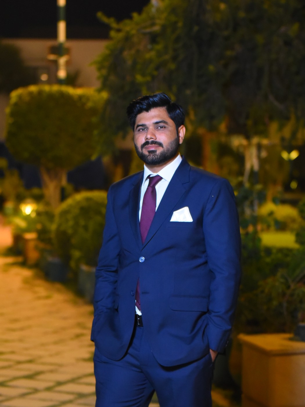
I am an Assistant Professor at the African Research Center on Air Quality and Climate (ArcAir), Université Mohammed VI Polytechnique in Morocco — where I lead research on greenhouse gases, air quality, and atmospheric modeling across Africa.
My doctoral work in China and postdoc in Hong Kong focused on retrieving and improving CO2 datasets from satellites such as OCO-2, OCO-3, GOSAT, and TROPOMI, and on building deep learning methods to estimate anthropogenic emissions at regional and global scales.
Outside the university, I take on selected consulting projects — helping companies, NGOs, and research groups make sense of Earth-observation data and atmospheric models.
My research sits at the intersection of satellite remote sensing, atmospheric modeling, and machine learning — applied to questions about air composition, emissions, and climate.
CO2, CH4, and NH3 from satellites and atmospheric models — at city, country, and continental scales.
OCO-2/3, GOSAT, TROPOMI / Sentinel-5P, MODIS — retrieval, validation, and cross-product comparison.
WRF-Chem, GEOS-Chem, CarbonTracker, and Copernicus CAMS — configuration, simulation, and analysis.
Deep learning to refine model-based datasets and to estimate emissions where direct measurements are scarce.
Long-term satellite, model, and ground-station analyses of NO2, AOD, CO and Aerosol Index over Morocco and Africa.
How climate change manifests over the African continent — extremes, emissions trajectories, and air-quality implications.
HPC (SLURM), Google Earth Engine, and AWS pipelines for processing planetary-scale Earth-observation datasets.
Training scientists across Africa through WMO workshops and university modules in atmospheric modeling and remote sensing.
Eight first-author articles and seventeen co-authored — published in IEEE TGRS, Atmospheric Environment, Atmospheric Research, AMT, and Remote Sensing. A few highlights below.
Atmospheric Environment · doi: 10.1016/j.atmosenv.2025.121423
IEEE Transactions on Geoscience and Remote Sensing · doi: 10.1109/TGRS.2025.3556309
Atmospheric Research · doi: 10.1016/j.atmosres.2025.108057
IEEE Transactions on Geoscience and Remote Sensing · doi: 10.1109/TGRS.2022.3178125
Atmospheric Measurement Techniques · doi: 10.5194/amt-14-7277-2021
Remote Sensing · doi: 10.3390/rs13050899
Principal Investigator on greenhouse-gas emissions research funded across three continents — totalling over USD 350K secured, with USD 3M+ in pending proposals.
Building atmospheric-science capacity across Africa — through graduate supervision, university modules, and international training workshops.
For companies, NGOs, and research labs that need rigorous greenhouse-gas analysis, satellite data products, custom modeling runs, or hands-on training programmes — I work selectively, on remote engagements worldwide.
Six core engagements — scoped flexibly from a one-week sprint to a multi-month embedded collaboration.
End-to-end retrieval, validation, and interpretation from CO2, CH4, NO2, and aerosol satellites — delivered as ready-to-use datasets and clear reports.
Setup, configuration, and execution of regional-scale atmospheric simulations — including chemistry, dust, and greenhouse-gas tracers.
Custom machine and deep learning pipelines for emissions estimation, gap-filling model datasets, and downscaling — built in Python/TensorFlow.
City-, country-, and regional-scale assessments of CO2, CH4, NH3, NO2, and PM — combining satellites, models, and in-situ data.
Manuscript drafting, technical reports, grant proposals, and pre-submission peer review — written in clear, journal-ready academic English.
Bespoke training programmes for teams or institutions on Python for geosciences, GEE, satellite data, and atmospheric modeling — delivered remotely or on-site.
The day-to-day instruments — programming languages, atmospheric models, ML frameworks, and geospatial software I work with.